

Geocoding transfers location data, e.g. country and city names or Postal codes into geographic coordinates (Latitude and longitude).
Several types of location data are supported, and for each type several methods of geocoding are available:
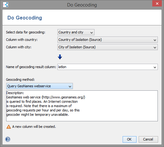
- country name and city name
One column must contain the country name and one column the city name.
The free services from GeoNames or Google Maps can be used for geocoding of country name and city name. - country name and state name
One column must contain the country name and one column the state name.
The free services from GeoNames or Google Maps API can be used for geocoding of country name and state name. - country name and ZIP codes
One column must contain the country name and one column the ZIP code.
An internal list with ZIP codes for European countries or Google Maps API can be used. - country names
Country names may be specified in various languages or by ISO 3166 two- or three-letter codes.
Example: "DE", "Deutschland", "Germany", "Tyskland". An internal list with country names, GeoNames or the Google Maps API can be queried. - Postal codes for specific countries
Only the Postal code for the selected country must be supplied.
Example: Postal codes for DE: "48161", "97074". A list with ZIP codes for European countries can be selected. - Single column:
Different Geocoding methods can be chosen for the selected column.
Note on the Postal codes: To protect privacy, only a prefix of Postal codes can be given in the data. The software then calculates the center points of all known Postal codes that starts with the given prefix. Example: "DE, 481". For some countries (e.g. Great Britain), Postal codes are only available to a certain depth, which will result in imprecise results for longer Postal codes
Note on the GeoNames webservice: internet access is required to query the service at GeoNames. Queries may take some time. Note that there is a maximum of geocoding requests per hour and per day, so the service might be temporary unavailable.
Note on Google Maps webservice: The Google Geocoding API for geocoding is used to translate any address that Google Maps can resolve. The Google Geocoding API may only be used in conjunction with a Google map. Geocoding results without displaying them on a Google map is prohibited. Furthermore, it is not allowed to use locations obtained through this Geocoder in conjunction with a non-Google map!
For complete details on allowed usage, see Maps API Terms of Service License Restrictions.
Result column
Enter a name for the column where the resulting latitude/longitude should be stored. This column may already exist. Existing values are not overwritten. If the column does not exist, a new column is created.
Note: Some of the geocoding data is provided by Geonames.org and other providers. Ridom does not guarantee that the geocoding results are complete and/or correct.
FOR RESEARCH USE ONLY. NOT FOR USE IN CLINICAL DIAGNOSTIC PROCEDURES.