
| wiki | search |
The Map Plugin adds functions to convert country names, Postal codes and city names into location data (Latitude/Longitude). The location data can be displayed on a map and exported in various formats.
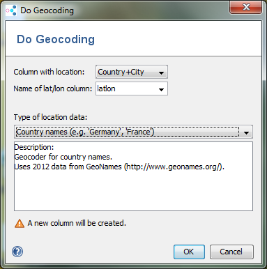 | 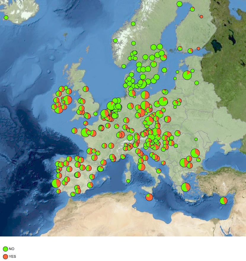 | 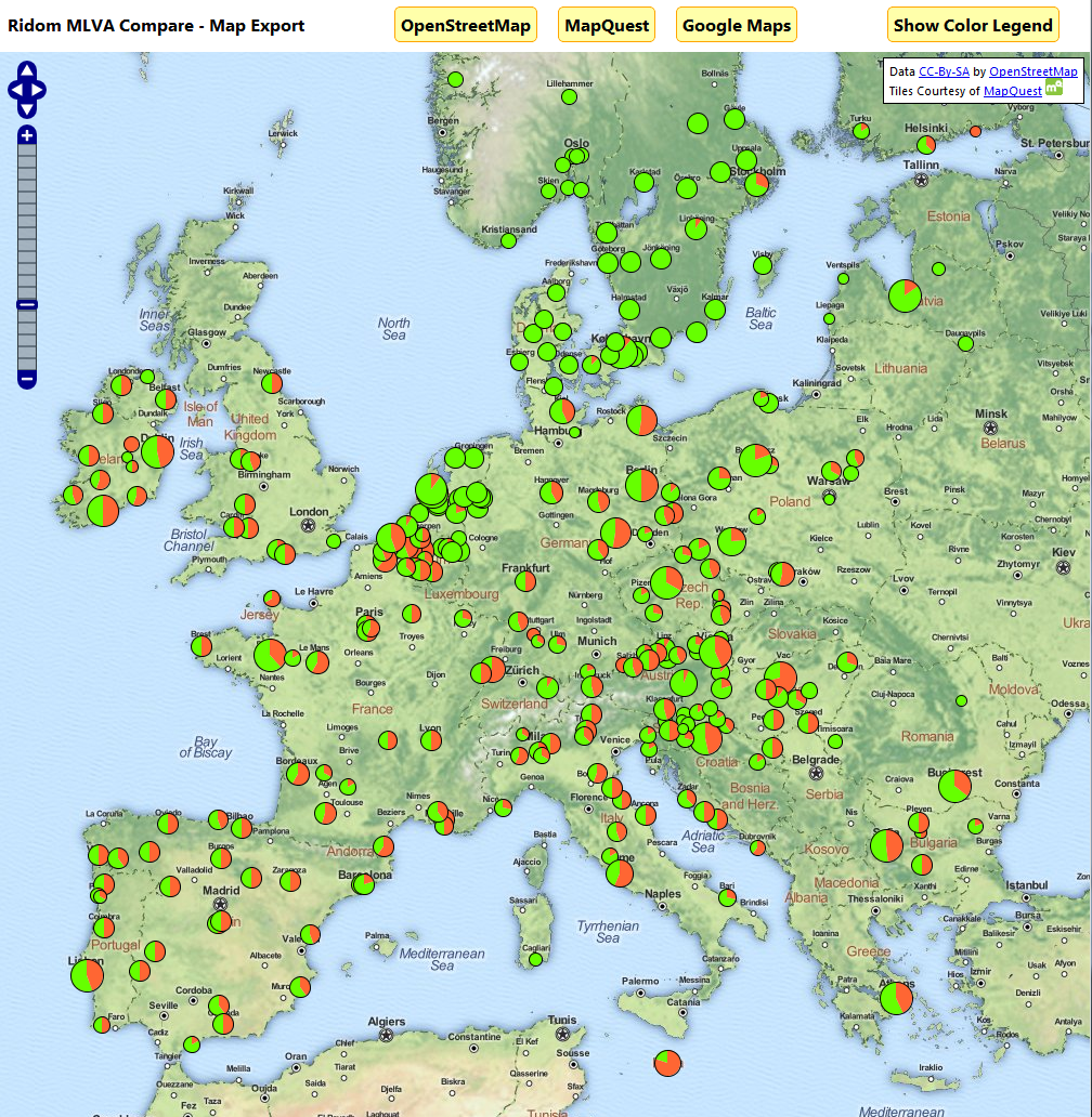 |
The Map Plugin adds functions to convert country names, Postal codes and city names into location data (Latitude/Longitude). The location data can be displayed on a map and exported in various formats.
|